Land Segmentation using Satellite Images
Quick Answer
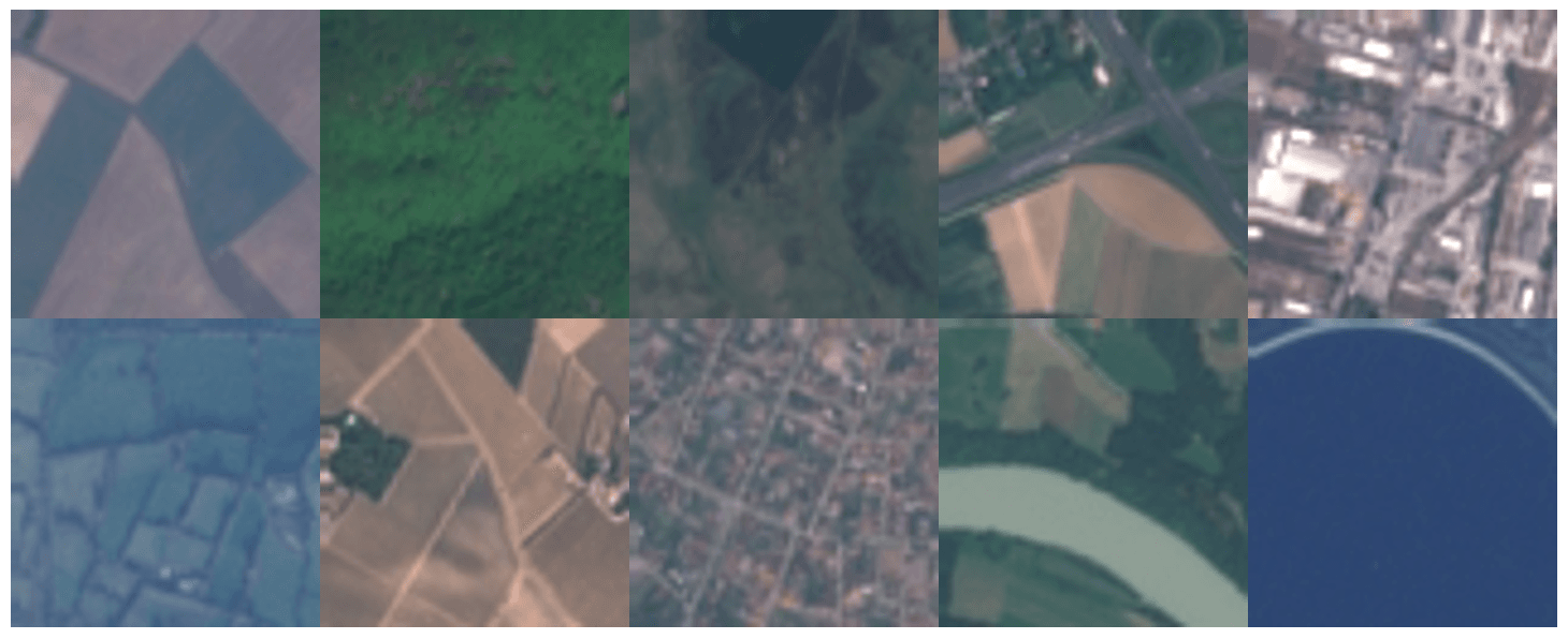
Description
This project, codenamed "Earth-Bender," utilizes high-resolution multi-spectral satellite imagery (TIFF) to perform automated land segmentation. By combining an Efficient-Net encoder with a custom Convolutional Neural Network (CNN) architecture, the system accurately predicts forest coverage and urban expansion across 7,000+ geographical samples. The model achieves 85% segmentation accuracy, enabling large-scale environmental monitoring and urban planning with minimal human oversight.
Problem Statement
- Massive Data Volume: Analyzing thousands of multi-gigabyte satellite TIFF images manually is impossible for human researchers.
- Visual Ambiguity: Different land types (e.g., dense forest vs. urban parkland) can look similar in raw color bands, requiring multi-spectral analysis.
- Compute Efficiency: Training on high-resolution imagery requires optimized deep learning pipelines to prevent hardware bottlenecks.
Solution
Phase 1: Data Ingestion and Normalization
Processed 7,000+ TIFF images, normalizing the pixel intensity across various multi-spectral bands. Implemented CUDA-accelerated data loaders to feed the GPU clusters efficiently.
Phase 2: Hybrid Efficient-Net & CNN Architecture
Developed a dual-stage model. An Efficient-Net encoder extracts high-level spatial features, while a localized CNN focuses on edge detection and texture segmentation. This hybrid approach ensures both contextual and granular accuracy.
Phase 3: Accuracy Optimization
Implemented custom loss functions to penalize misclassification of critical environmental zones (e.g., protected wetlands). The resulting 85% accuracy confirms the model's reliability for real-world deployment.
Conclusion
Earth-Bender represents a significant advancement in automated Earth observation. By automating the identification of forest and land usage, the project provides a critical tool for tracking deforestation, climate change impacts, and urban sprawl, turning raw pixels into actionable environmental intelligence.
Other Use Cases
- Natural Disaster Assessment: Rapidly identifying flooded areas or burnt forest zones following hurricanes or wildfires to coordinate relief.
- Real Estate Appraisal: Automatically calculating green-space ratios for property valuation and urban developments.
- Agricultural Yield Prediction: Segmenting crop types across entire regions to predict harvest volumes and food security risks.
- Coastal Erosion Tracking: Monitoring long-term changes in shorelines and mangrove coverage to assess sea-level rise impacts.
- Illegal Logging Detection: Cross-referencing weekly satellite passes to flag unexpected forest loss in protected national parks.
Tech Stack
Developed Over
2024 - Present
Category
AI & Machine Learning
About the Author

Durvesh Baharwal
Full Stack AI Engineer & Data Scientist- Full Stack AI Engineer @ AI Alpha Tech
- Research Associate · ISRO / SAC
- NASA Space Apps Participant
- B.E. AI & Data Science, MET BKC Engineering
Durvesh builds production-grade AI systems ranging from satellite navigation algorithms to computer vision pipelines. He bridges deep research with practical deployment across industries.